Water & coasts 7 min read
The Channel Along a Wadden Sea Flat
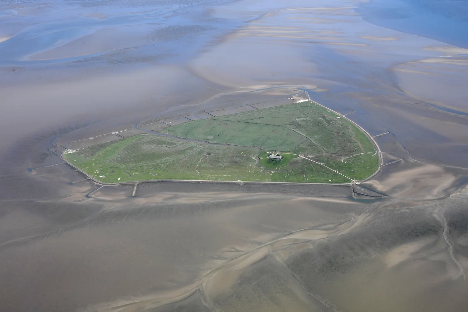
An aerial view of Hallig Süderoog shows water in some channels while nearby flats are exposed. Height, tide and moving sediment explain why the lower lines remain visible.
 The world edition
Follow the boundary between daily life and moving water.
An aerial view of Hallig Süderoog shows water in some channels while nearby flats are exposed. Height, tide and moving sediment explain why the lower lines remain visible.
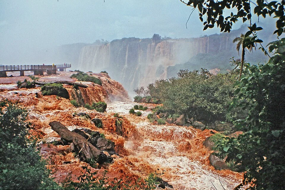
Iguazú is a series of drops across a wide bend in the river. The rock ledges, islands and changing flow make it look different from the two sides and from one visit to the next.
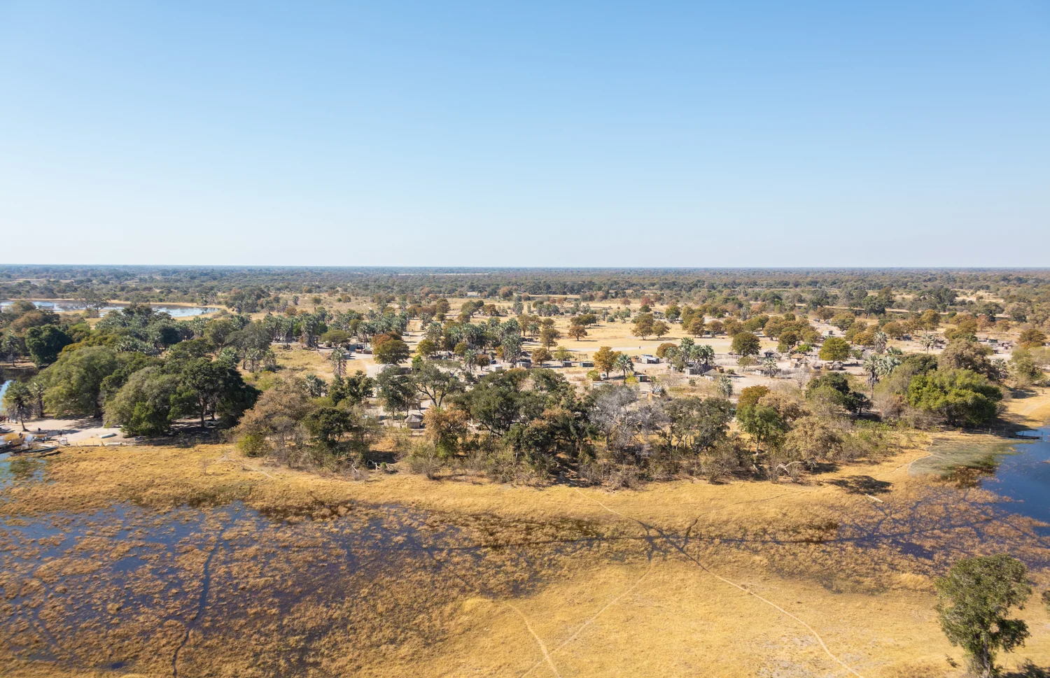
A flood spreading across Botswana can owe its timing to rain far upstream. In the Okavango Delta the water expands through inland channels and shallows without finding a river mouth at the sea.
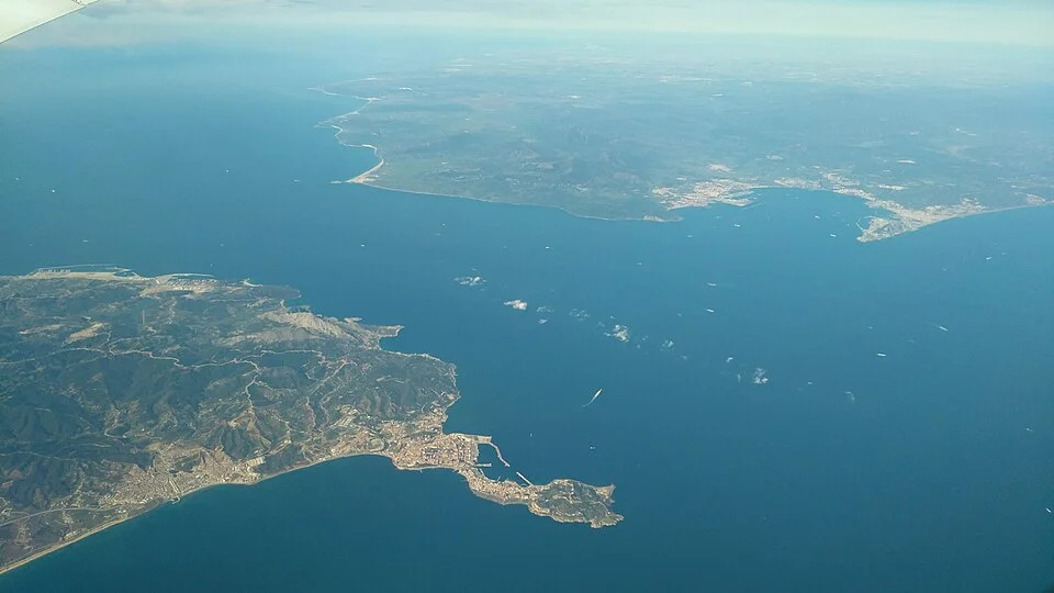
An aerial photograph makes the Strait of Gibraltar look like one passage. A section through the water reveals Atlantic inflow above a deeper Mediterranean outflow.
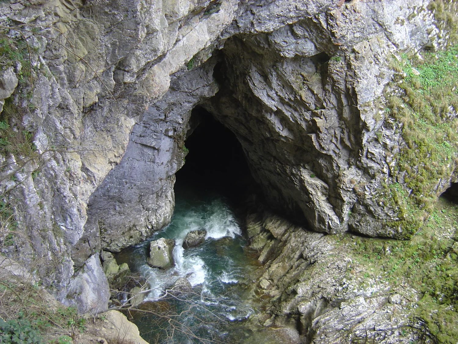
The Reka arrives in southwestern Slovenia as a surface river. A rock opening near Škocjan leads to an underground canyon, and the water is linked to springs in another country.
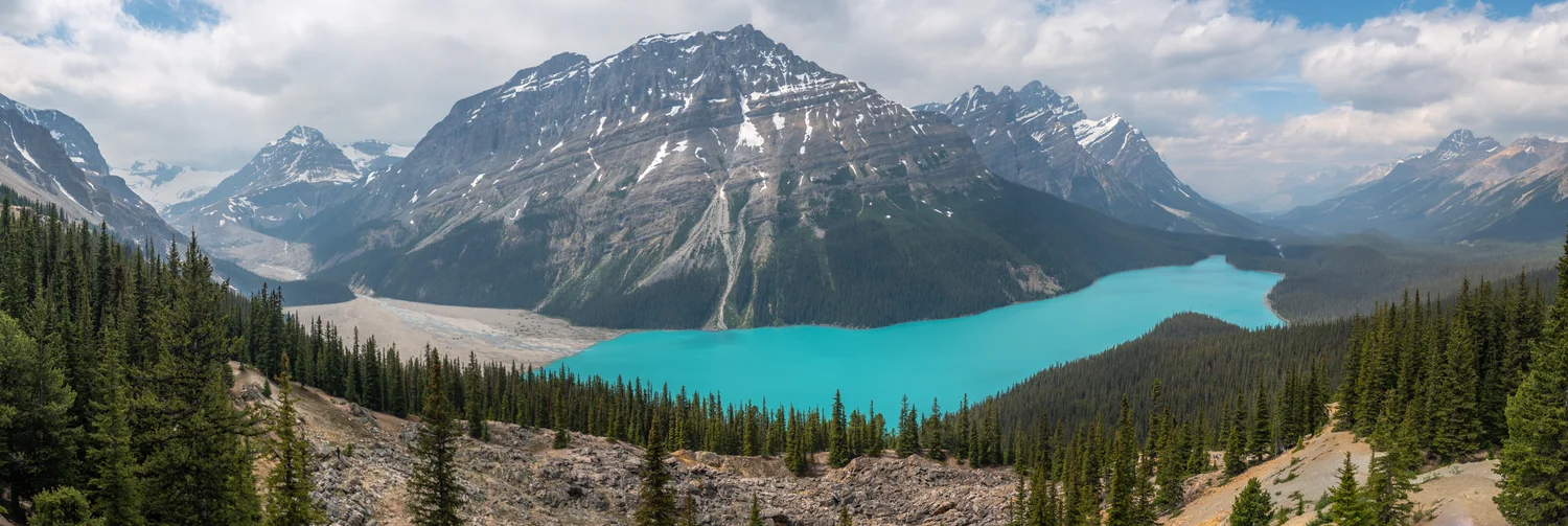
Peyto Lake’s turquoise is a property of light and suspended mineral particles, viewed across a whole valley. The shore and the water are easier to understand if the colour is treated as evidence with limits.
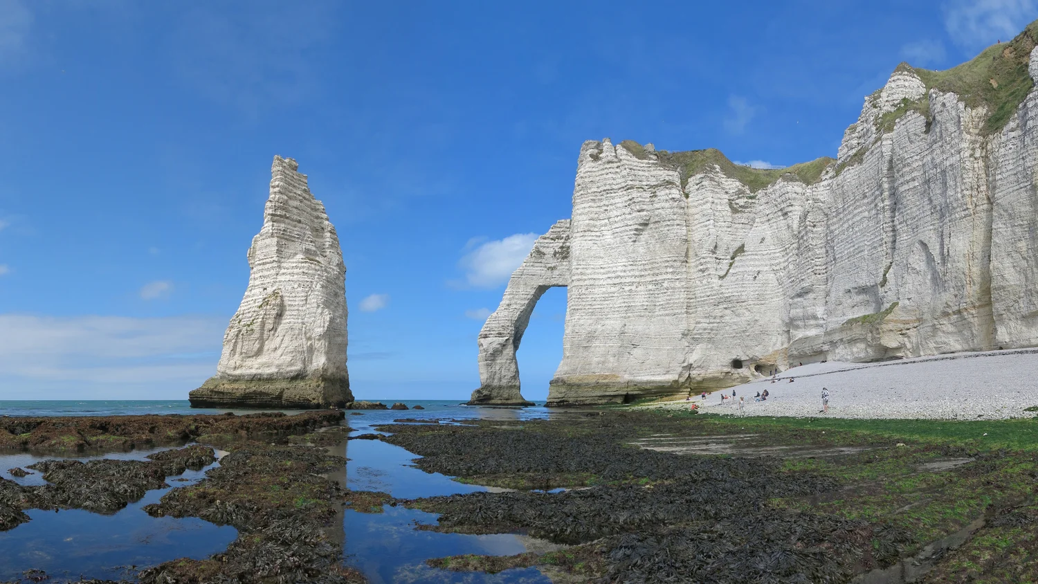
At Étretat a thin tower of chalk stands apart from an arch still connected to the coast. Both are easier to read after separating the shape of a cliff from the pace at which it changes.
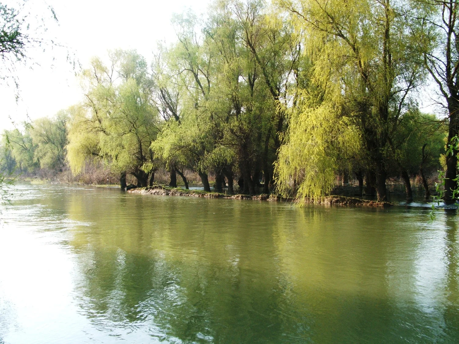
The large named arms of the Danube help orient a map. Smaller channels, lakes and wetlands explain why there is, in practice, much more than a single route toward the sea.
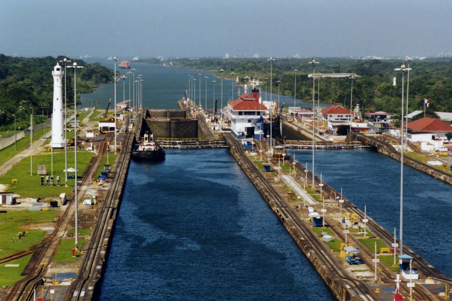
Gatun Lake forms part of the Panama Canal’s route and supplies water for its locks. A map of the passage makes more sense when you draw it from the side.
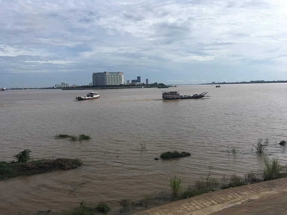
A single arrow cannot describe the water between Cambodia’s Great Lake and the Mekong. The direction changes as the wet season fills the lake and its floodplain.
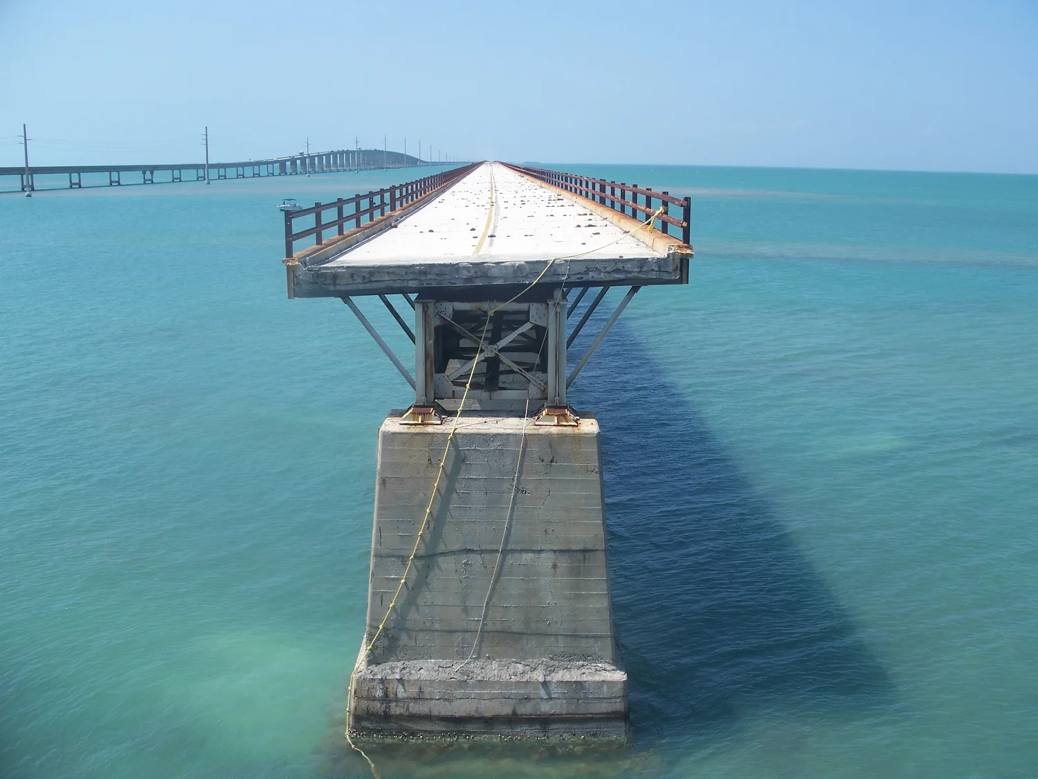
On the Florida Keys, the old and new Seven Mile bridges put more than a century of route decisions side by side. Pigeon Key explains why their paths still matter.
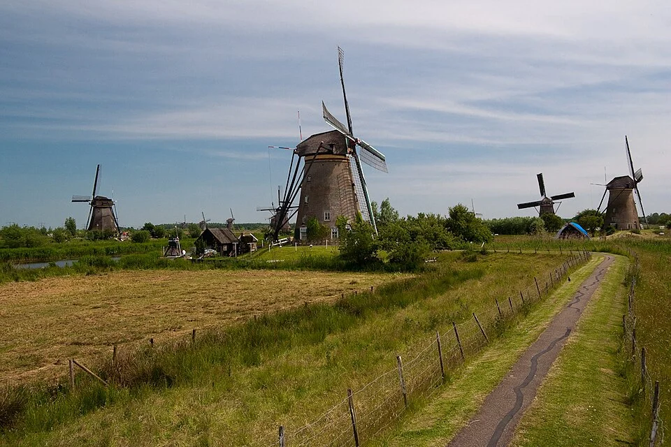
A row of mills is easy to recognize from the path. The channels on either side explain why some of the wind’s work went into moving water uphill.
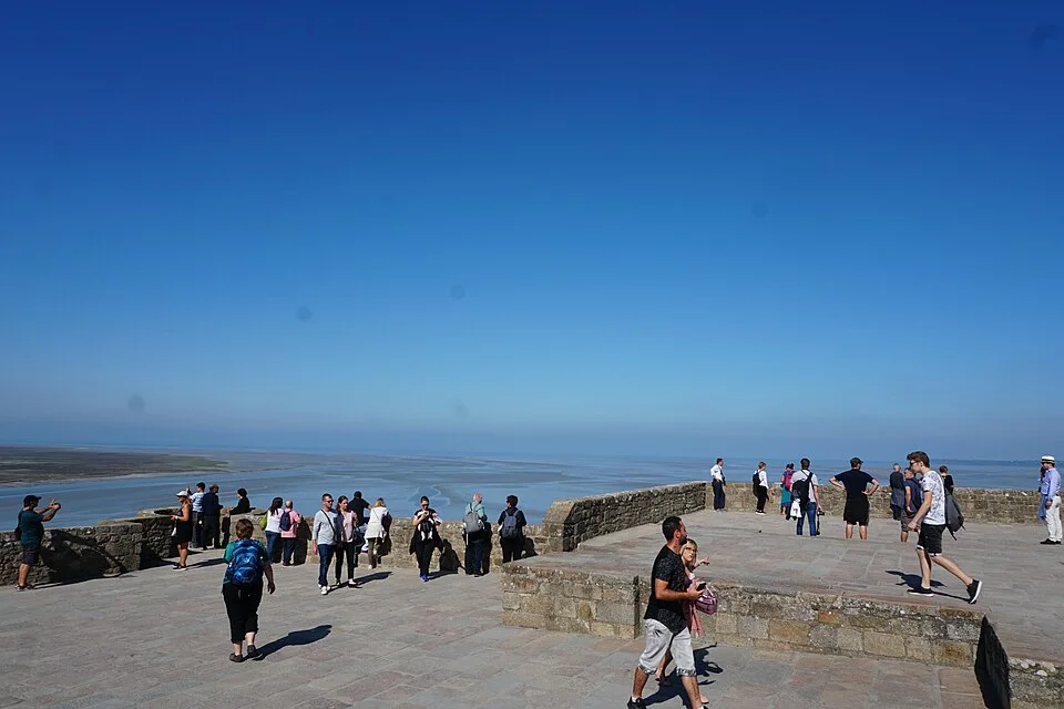
In the bay around Mont Saint Michel, the place where land appears to end has an hour attached to it. Photographs describe one stage of a changing system.