Routes & journeys 7 min read
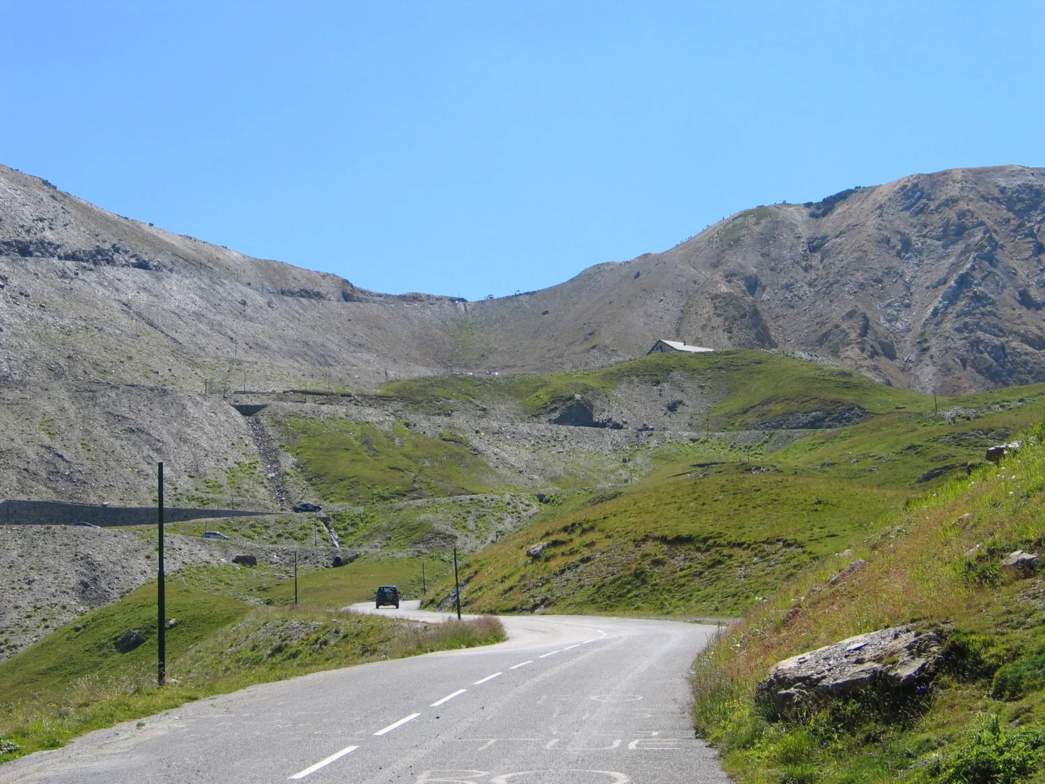
The Road to the Galibier Saddle
The pass road approaches a low point in a high ridge. Its bends, elevation and separate tunnel option explain why the shape of the crossing cannot be read from a straight line.
 The world edition
Read the geography behind the way people travel.
The pass road approaches a low point in a high ridge. Its bends, elevation and separate tunnel option explain why the shape of the crossing cannot be read from a straight line.
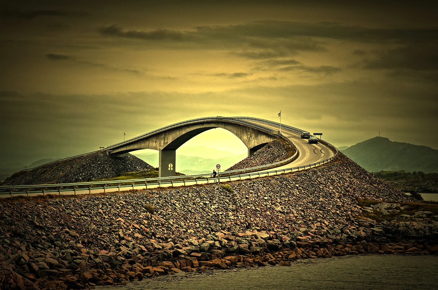
A famous arch is only one part of Norway’s Atlanterhavsvegen. Read the chain of small landings and water gaps to see why the road makes such a variable journey.
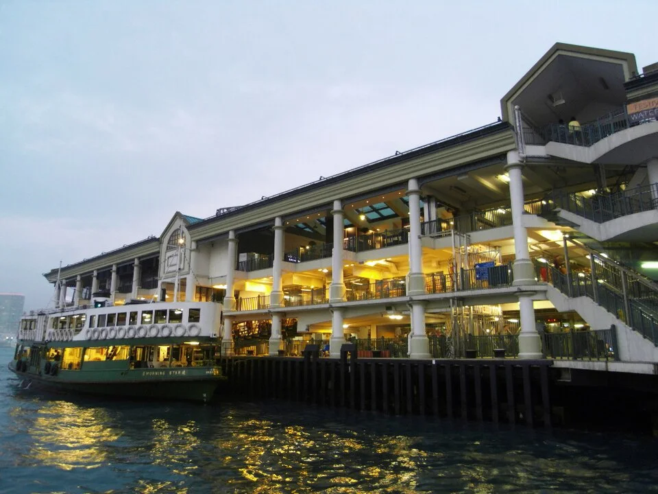
Hong Kong’s Star Ferry moved to new piers in Central in 2006. A walk from a city landmark to the water helps explain why the same crossing could acquire a different beginning.
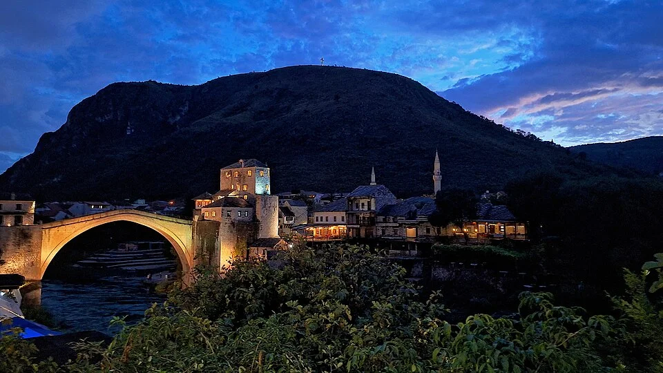
Mostar’s stone arch crosses the Neretva, but its two approaches explain why the crossing matters to a wider patch of the city. The reconstructed bridge links a place as well as two banks.
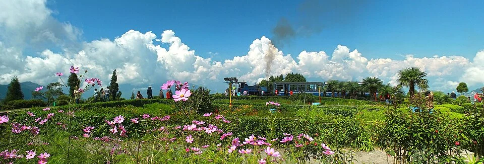
At Batasia Loop the track takes extra distance to change height. Its course explains something a simple line between two stations leaves out.
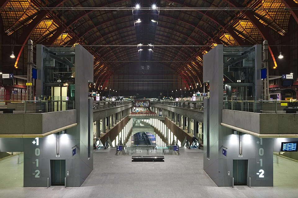
The station’s vaulted roof is the part most people remember. The difficult change came underneath, where a new route allowed some trains to continue across the city.
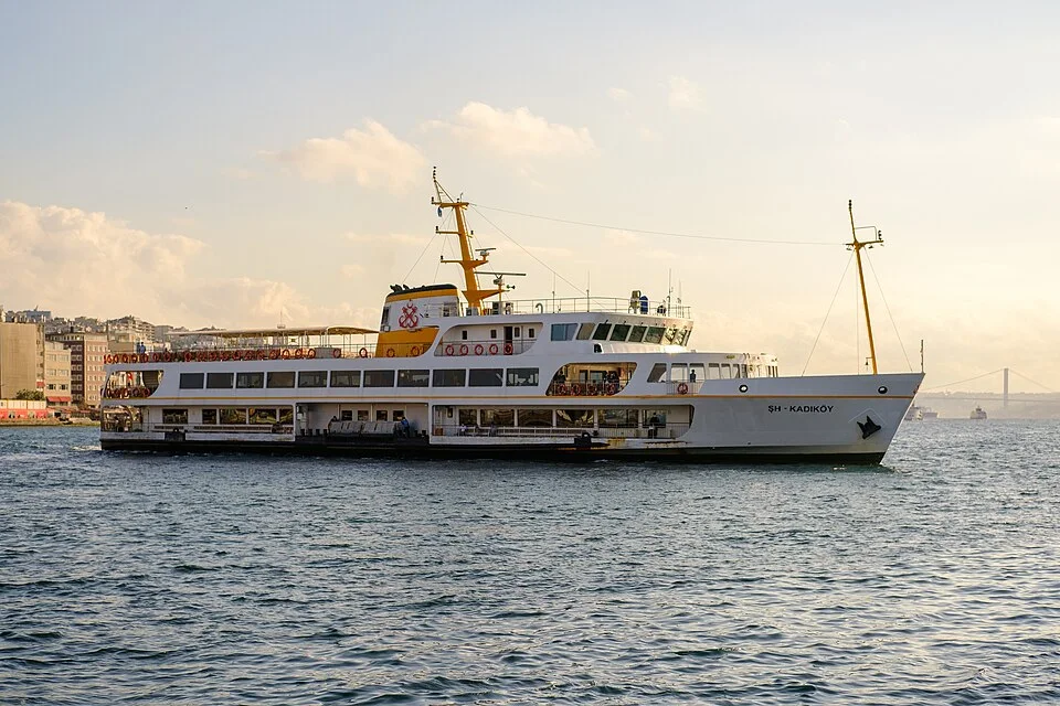
A useful map of a ferry crossing includes the streets approaching both terminals and the waits that never appear in a line drawn across water.
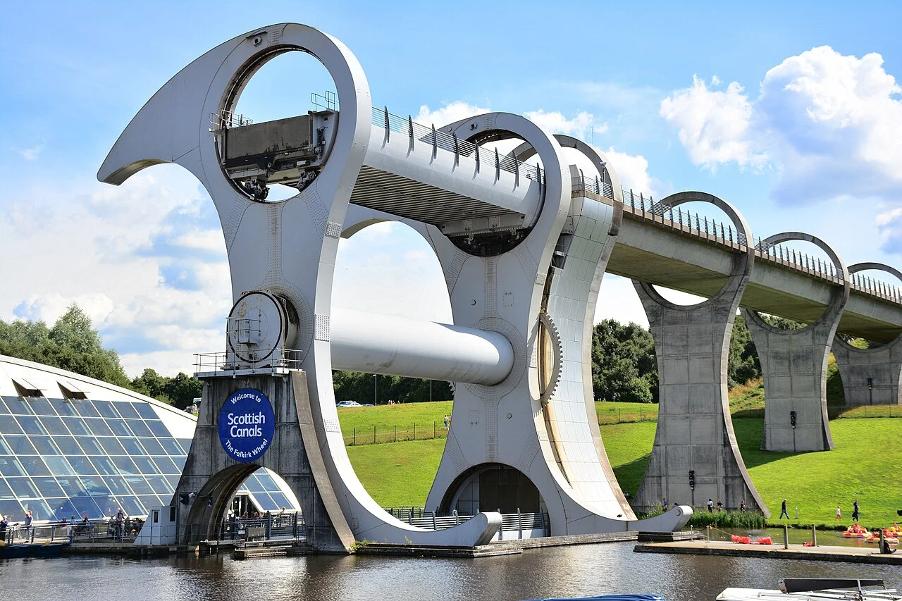
A boat lift looks like a destination from the bank. From a canal boat it is one step in a journey with approaches, different water levels and another set of locks.