Maps & borders 7 min read
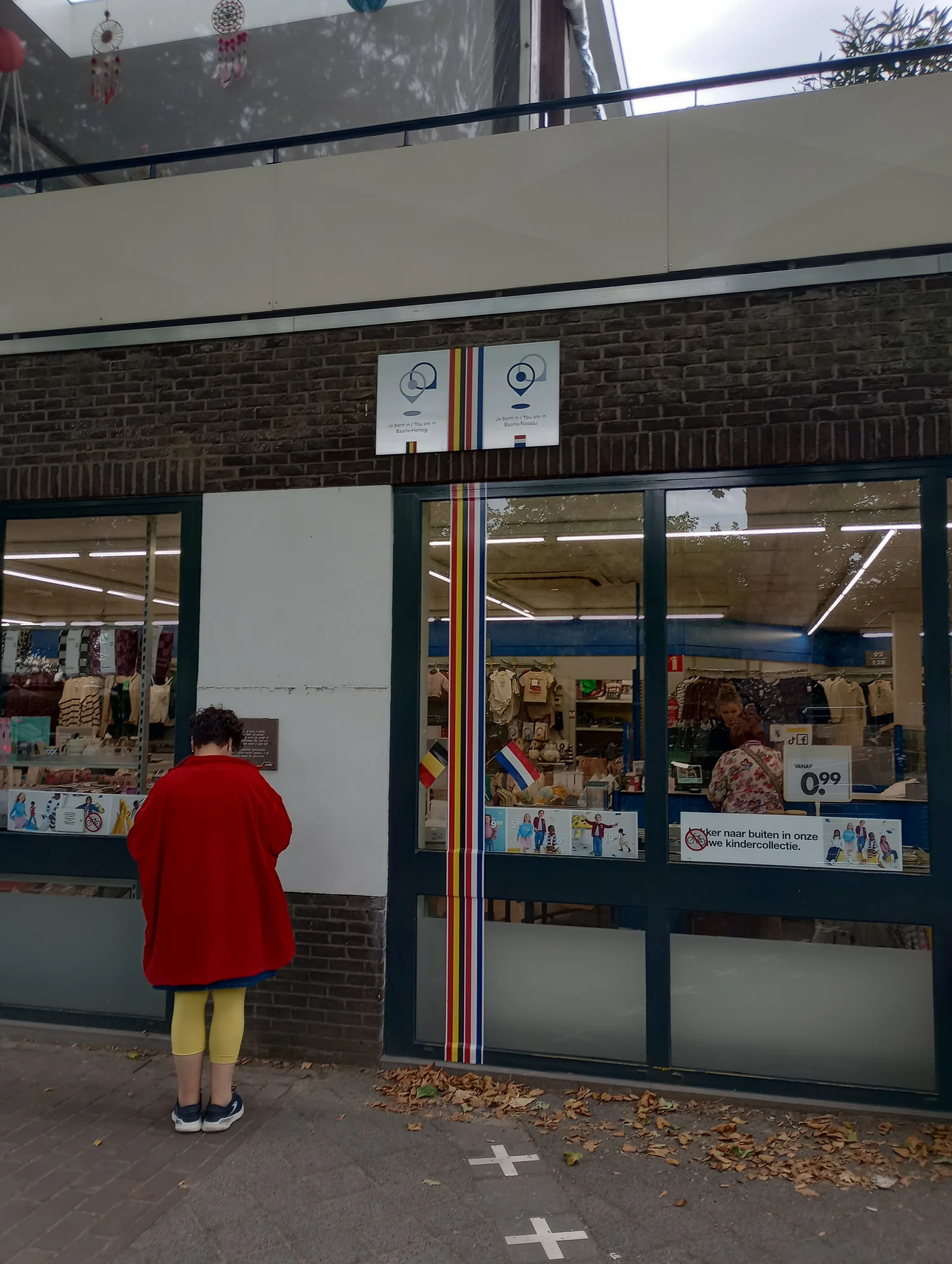
The Border That Enters a Shop
In Baarle, a marked line can leave the pavement and cross a building. The nested Belgian and Dutch enclaves make more sense on a map that distinguishes borders, addresses and routes.
 The world edition
Find out what a line on a map can and cannot say.
In Baarle, a marked line can leave the pavement and cross a building. The nested Belgian and Dutch enclaves make more sense on a map that distinguishes borders, addresses and routes.
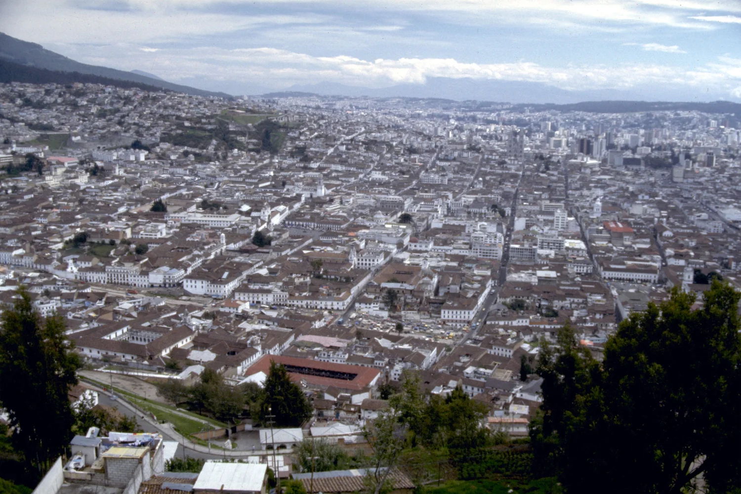
A view from El Panecillo gives Quito’s historic centre a different outline from a street map. The difference begins with the ground beneath the blocks.
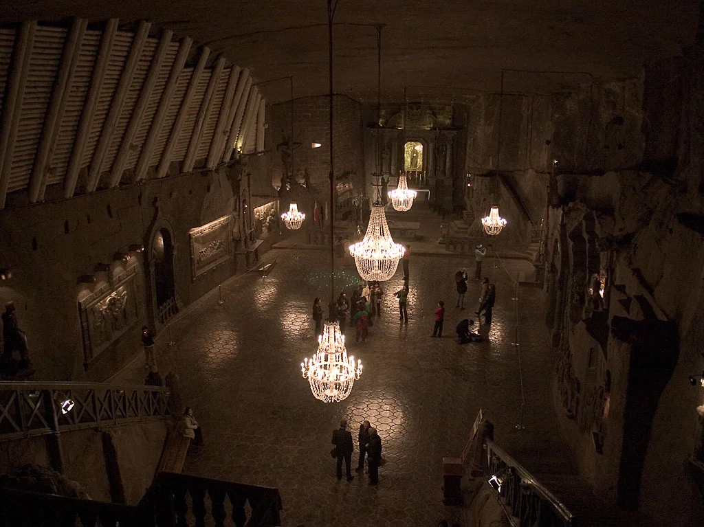
One salt deposit supported mines in two towns. At Wieliczka, a route through shafts, galleries and a chapel shows why the underground is easier to read in section than in plan alone.
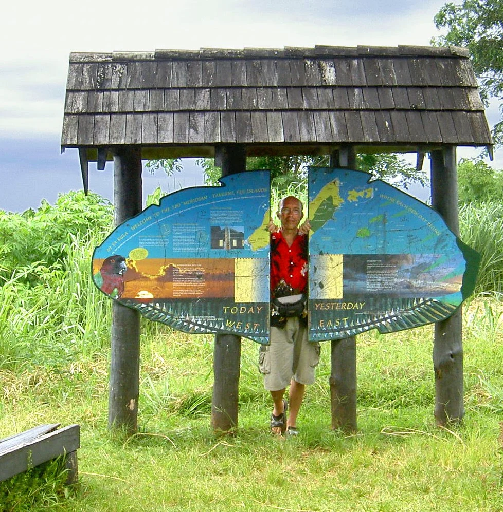
Taveuni gives the 180th meridian a visible address. The International Date Line reflects separate decisions about how places keep their calendars.
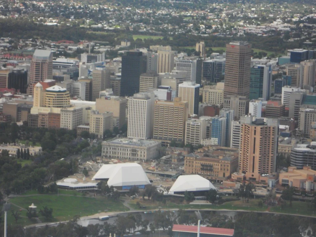
A map of Adelaide can show the garden squares, the river and the larger belt of park lands. They are three different ways of putting open space next to the city.
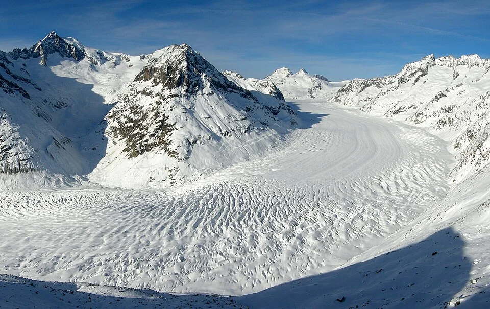
A map may label a glacier with its total length. A monitoring record asks how far its end moved, relative to a documented position and direction.
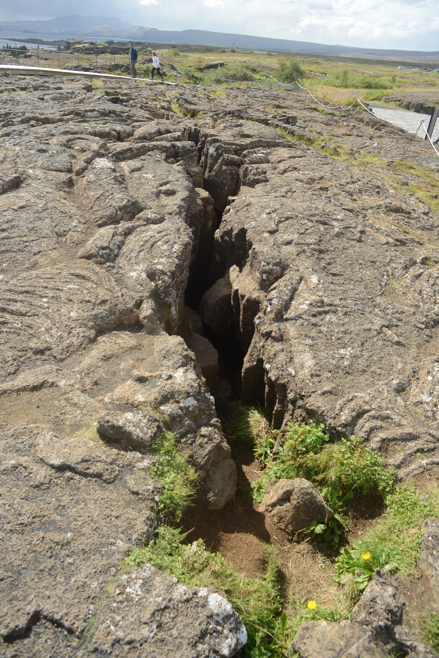
Almannagjá is one of the easiest fissures to see at Þingvellir. It is an entrance to a picture that takes in a broad and active rift valley.
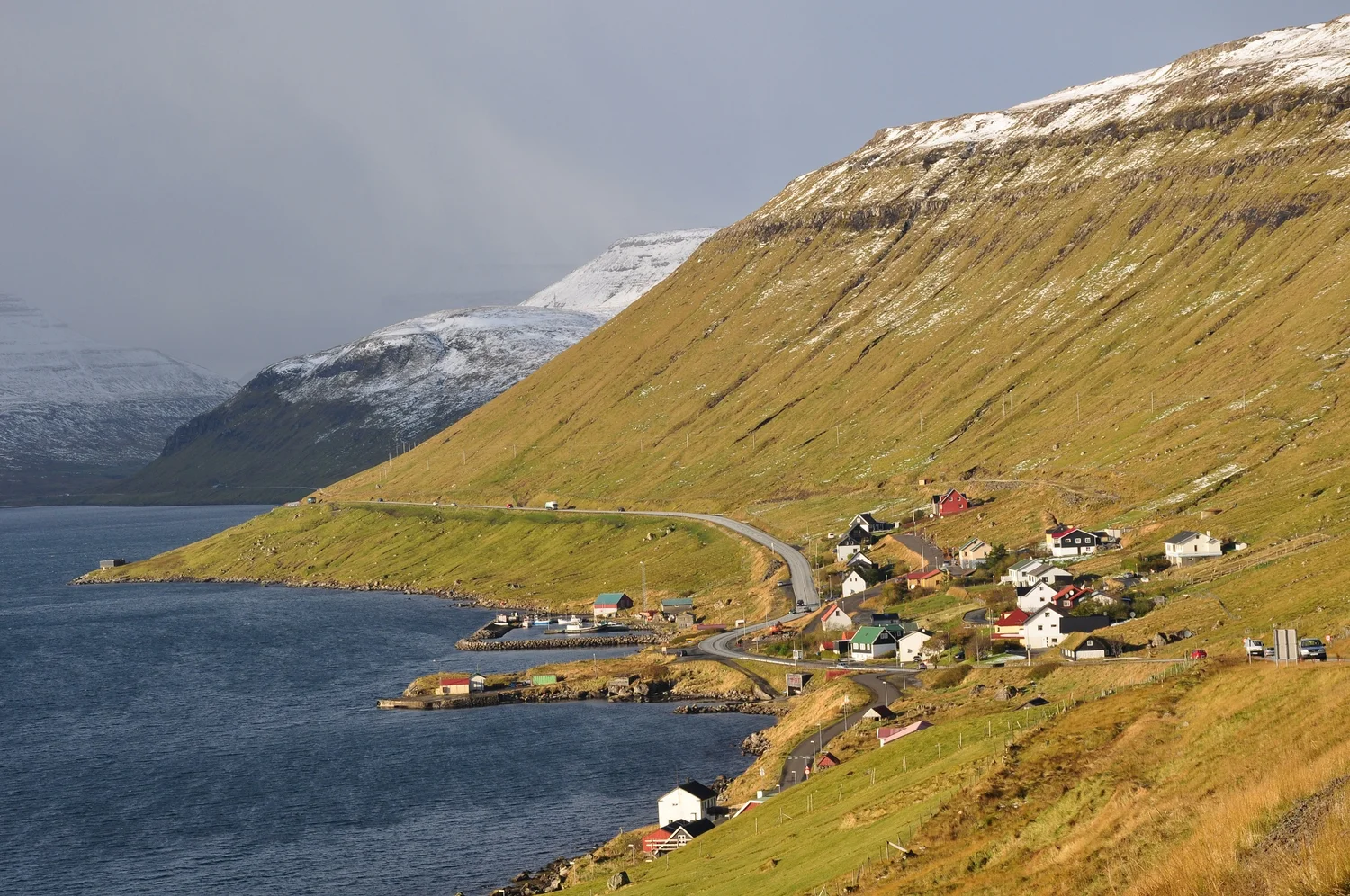
The Eysturoy tunnel joins three road approaches below a Faroese fjord. The important change on a map is where a traveler can turn before returning to the surface.
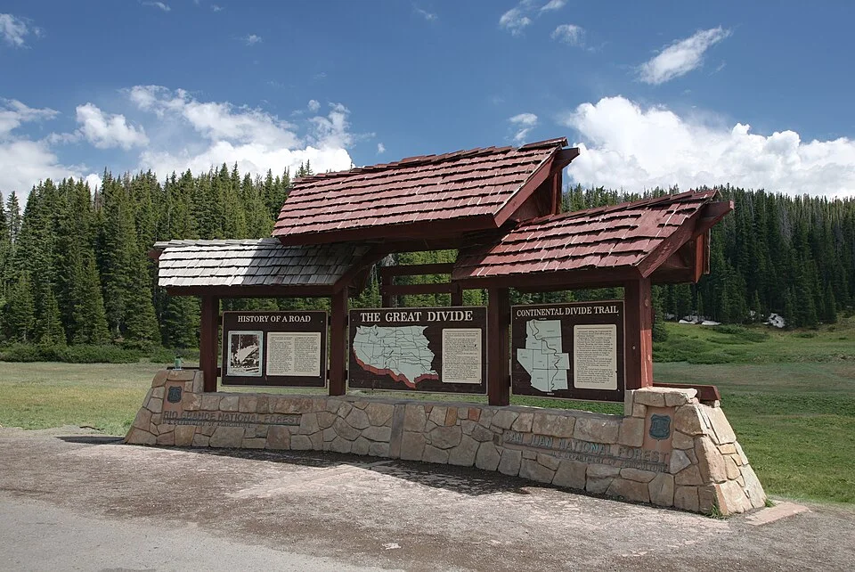
A divide that takes one step to cross can send surface water toward different rivers. Start with the place where the water leaves, then trace back uphill.