A Junction Under Skálafjørður
The Eysturoy tunnel joins three road approaches below a Faroese fjord. The important change on a map is where a traveler can turn before returning to the surface.
In this story 4 sections
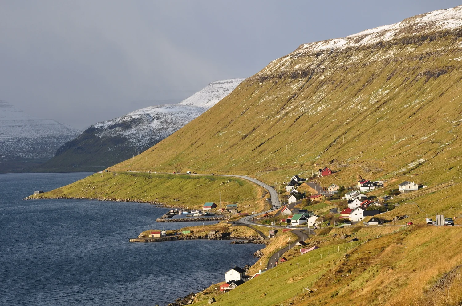
Skálafjørður in the Faroe Islands looks like a natural corridor from above. Clouds, shore roads and rows of buildings stretch out along its sides. A person going to the other side has a different experience of the shape. Two points that seem very close across the water can be far apart on a road that follows the shore. For an ordinary drive the attraction of a map is that it shows the two facts at once. The distance across the blue patch is small. The path around that patch can take a long turn inland before coming back to the same latitude.
In December 2020 the Eysturoy tunnel opened a connection that changed this calculation. The operator describes two approaches on opposite sides of Skálafjørður and a longer connection to Hvítanes on Streymoy, near Tórshavn. The three meet at a roundabout beneath the fjord. You can still travel along the shores or draw them as you did before. Add the tunnel and one decision about direction can now occur below the water, in a place that a photograph of the shores gives no reason to expect.
Build the map with three ends
On a blank sheet make a long narrow space to represent the fjord. Put Saltnes on one side and Strendur on the other. South and west of them, mark an approach near Hvítanes on Streymoy. To be exact about a trip you would need the actual portal locations on a map. For a diagram that explains the layout, begin with just these three marks. Draw lines from them to a point under Skálafjørður. For visitors used to tunnels depicted as pairs of arrows, the third connection alters the meaning of reaching the middle.
The project operator puts the branch from the area of Saltnes to the roundabout at about 2.2 kilometers and the branch from the Strendur side at about 1.7 kilometers. It describes the longer connection from the roundabout to Hvítanes as about 7.5 kilometers. On this schematic, the two shorter approaches add up to about 3.9 kilometers between the sides, exclusive of the other travel needed to reach the approaches. Going from the longer branch to the Strendur side uses about 9.2 kilometers of the connections described. If someone quotes a length for the whole network, remember that no ordinary trip between two entrances needs to traverse all three branches.
This distinction becomes obvious in an aboveground street network. An intersection has roads leading away from it, and a person can usually see a few of them before arriving. In a tunnel, on the map as well as from inside, the extent beyond the next curve is not so easily read. It is useful to know there is a branch before you begin thinking of the whole engineering project as one long tube. The water above makes the network disappear. The drawing of three lines gives it its shape again.
A roundabout is a choice, not a landmark on the shore
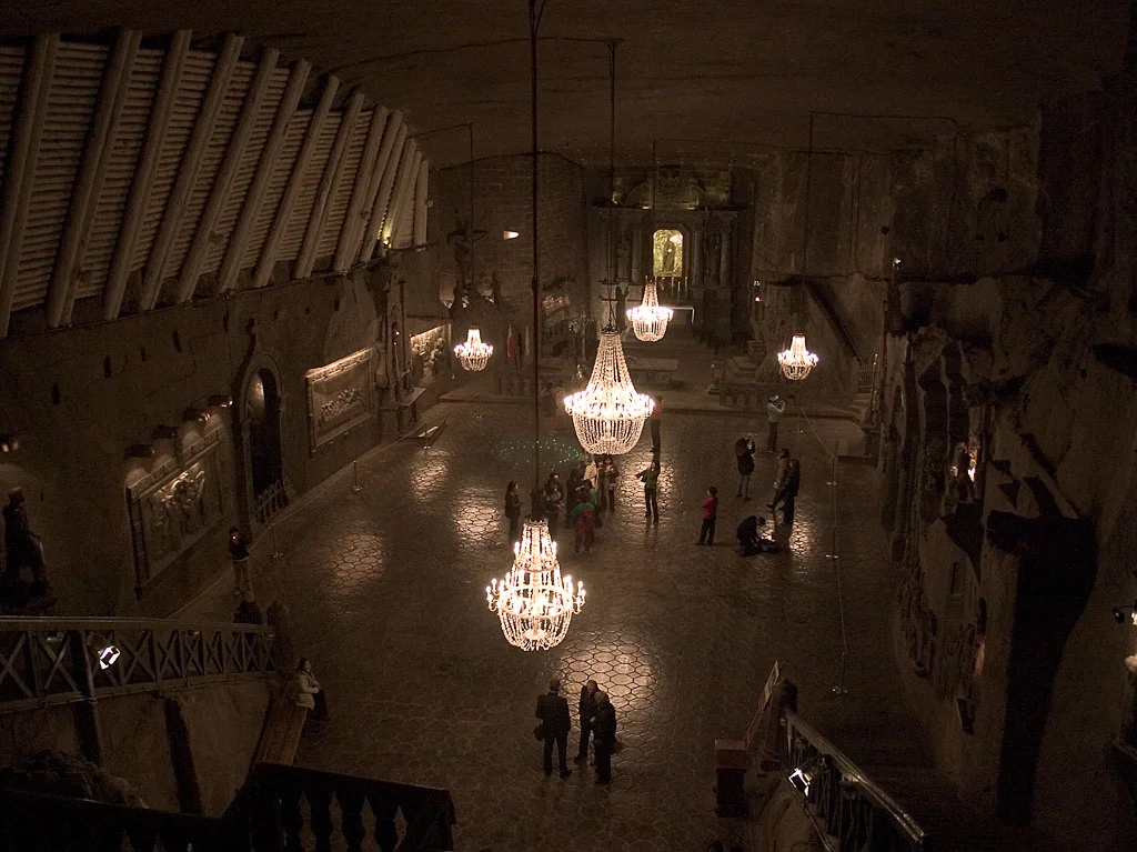
The underground junction is often represented in photographs by a circle of light around a central structure. The Faroese visitor service describes its illuminated, jellyfish-like appearance and the art associated with the tunnel. This is an unexpected visual experience in a road system usually described by portal names and travel distance. It also puts a memorable point at a real branching location. The visual landmark is underground. No matching monument on the shoreline can tell someone standing above it which branch leads to a particular place.
Get the function of the roundabout straight before using the art to describe the whole thing. Drivers come from different branches and choose among exits as they would choose among the roads at an aboveground junction, following signs and the local rules. The words on the signs have to reach someone whose broad sense of direction may be supplied by a map they no longer see. A location name is a much more useful cue than an estimate from the last glimpse of daylight. A person who thinks every destination lies at what they would call “the far end” has not accounted for the shape of the network.
Think also about the route to the junction. A drawing of a short branch does not tell you that the surface is directly above the preceding part of the road. The route descends through rock, approaches the junction and then has to give another branch a way to reach its portal. An undersea tunnel has a relationship to the seabed as well as to the outline of water on a map. The project description mentions geological investigation before and during preparation. A hand-drawn line that seems to make a better shortcut on the surface says little about the rock and working conditions through which the space would have to be built.
The fjord continues to organize the place
Above the tunnel, a view along Skálafjørður can be surprisingly full of small directions. Land at one point slopes away sharply and at another opens a thin strip where buildings form a row. The edges may offer road space and a settlement in quite different positions along the shore. The cover image, looking toward Skipanes and Undir Gøtueiði, shows communities on Eysturoy and provides a sense of that landscape. It does not show the tunnel junction. Keeping this distinction in view helps put a transportation project that is invisible from the surface back into its larger geographic setting.
For a resident, the trip to a portal can matter as much as the distance between portals. Two homes a similar distance apart from a destination on the map might use quite different first routes. A shorter central connection may bring a destination within reach for a frequent trip but be less useful to someone who still has a long first leg. If you compare possible journeys, choose the same endpoints each time. Comparing the length of a new branch with the length of an old complete journey will exaggerate part of what changed.
People can also continue to use other routes for reasons that have nothing to do with length on a diagram. They may need to stop in a settlement on the old road or take a different vehicle. The connection creates choices rather than explaining them all. The correct before-and-after drawing retains the shore roads and the route through the head of the fjord while adding an edge under it. Removing the rest of the network would make the decrease in one distance very easy to illustrate and make the place almost impossible to understand.
A diagram worth keeping can also distinguish a portal from the settlement whose name is used to describe it. Place names are convenient references in the operator’s description. They might label a wider stretch of shore or a destination reached by a separate road. If someone compares a sign on a highway with an online map, what looks at first like a disagreement about the end of the tunnel could be a difference between a physical entrance and a named area that tells people where the route ultimately goes.
This is particularly useful when measuring a return trip. Mark exactly where the route joins the road on the other side. The first decision on the return may occur earlier than you expect if your destination is further along the shore than the nearest settlement. A diagram that carries the first and last few kilometers above ground may look busier than the clean drawing of three branches, but it is the appropriate level of detail for comparing how two actual journeys fit together.
Which journey are you measuring?
Write down three possible trips: from the shore across to the other shore, from either shore toward Tórshavn, and between two places both located on one shore. In the first two, different branches become useful in different combinations. In the last, the new junction may be irrelevant. Add the same few facts for each trip: starting place, destination, routing and assumptions. If you care about elapsed travel time rather than distance, you need observations or a clearly documented estimate of time on each part of the route. A kilometer of approach road need not contribute the same time as a kilometer of another segment.
This exercise helps when someone describes the project as making an island closer to another. A useful account says which places have a simpler connection and which route they now share. A time claim means something more if it attaches to a stated pair of points. You can make the change legible without inventing a general number for an entire island’s travel. The shorter figures advertised for a crossing may also mean different things to a person making it often and to someone who only passes through once.
At a scale that shows the whole archipelago, the roundabout might have to be marked as an unassuming dot. There will be no room at that scale to show the descent, the signs or the features that make it recognizable to people who pass it. Look at the dot anyway. The shorelines are as continuous as before, but three routes now have an address in common. The place is still recognizable in the surface photograph. Where a traveler can go next has changed in a part of the picture that the camera cannot see.